Ukraine : Defense Ministry working to limit satellite imaging of Ukrainian territory
Ukraine is working to limit satellite mapping of Ukrainian territory, amid concerns of intelligence leaks that would benefit Russian forces, Ukraine's Defense Ministry announced on May 1, The Kyiv Independent reports.
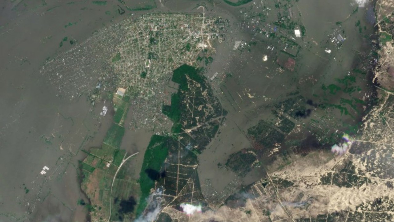
"Every day, satellite companies take images of Ukrainian territory. These images can be used by the enemy," Deputy Defense Minister Kateryna Chernohorenko said in a statement. "In times of war, we must minimize the risks of the enemy using images of Ukraine."
Ukraine's Defense Ministry said it had signed a memorandum of understanding with unnamed satellite imaging companies limiting the distribution of imaging to ensure Russia did not have access to mapping.
The Defense Ministry also stated that it had reached an agreement with an imaging company, which went unnamed for security reasons, to provide high-resolution imaging for security and defense purposes. The unnamed company is the "only satellite company" in the world to provide daily imaging of territory with a resolution of three to five meters, Radio Free Europe/Radio Liberty reported.
Previously, satellite images could have been ordered by Russia through shell companies, evading detection. It is unclear whether there have been any such instances.
The EU is also considering sanctioning a number of Chinese and Hong Kong-based companies who have allegedly provided Russia with satellite images, Bloomberg reported on April 23.