El Nino set to reach very strong peak, driving global climate shocks
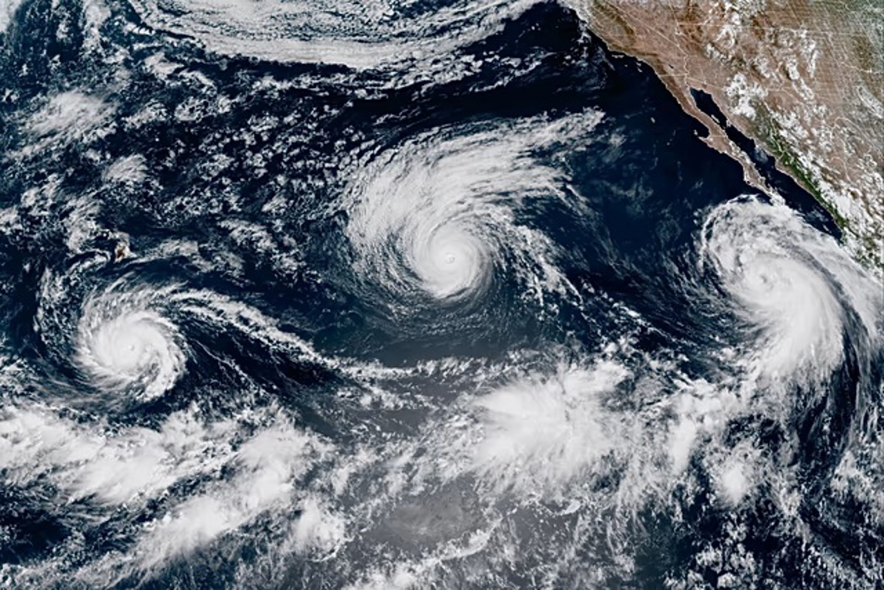
The El Niño weather pattern will intensify over coming months to reach “very strong” levels by late 2026, threatening severe global climate disruptions through February 2027, the World Meteorological Organization warned.
El Niño typically peaks toward year-end as vast reserves of heat accumulated in the oceans gradually discharge into the atmosphere. This release is expected to exacerbate climate volatility and lock in elevated global temperatures over the long term.
“El Niño is already strong and will intensify in the coming months, carrying a major impact on precipitation, temperature patterns, and the associated risks of floods, drought, and extreme heat,” the World Meteorological Organization said in a statement.
🌡️ El Niño is firmly established and will intensify into a very strong event in the coming months. WMO forecasts show ~100% likelihood that it will persist through February 2027.
— World Meteorological Organization (@WMO) September 3, 2026
A very strong El Niño ≠ same impacts everywhere.
🆕 WMO El Nino Update: https://t.co/KUPq04jjkT pic.twitter.com/PAx1EZTCOH
The natural climate phenomenon, marked by anomalous surface warming in the central and eastern equatorial Pacific, reshapes global winds, atmospheric circulation, and rainfall regimes. These effects compound existing planetary warming driven by human-induced greenhouse gas emissions.
WMO Secretary-General Celeste Saulo stressed that economies and communities worldwide face profound disruption, placing critical sectors—including agriculture, public health, energy, and water resource management—on high alert.
Pacific thermal anomalies
At the surface, the equatorial Pacific temperature anomaly index surged from +1.5 degrees Celsius during the May–July period to weekly readings between +2.2 and +2.6 degrees Celsius by mid-August. Beneath the surface, ocean temperatures in localized pockets surpassed seasonal averages by as much as 8 degrees Celsius.
The ramifications of El Niño extend far beyond the Pacific Basin, capable of fundamentally altering weather patterns thousands of kilometers away.
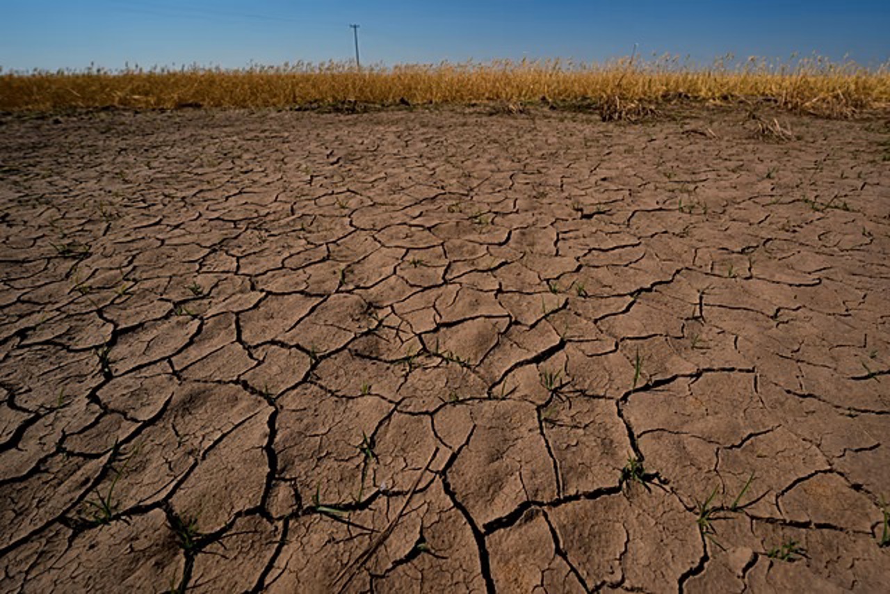
Ranked in the highest of the WMO’s four intensity tiers—weak, moderate, strong, and very strong—the ongoing event is projected to bring severe droughts across the Amazon Basin, Indonesia, and Australia, trigger monsoon disruptions across India, and drive above-normal temperatures across nearly all continental landmasses.
El Niño recurs every few years, placing meteorological agencies and climate scientists on high alert as ocean heat release sparks chain reactions across global rainfall, temperatures, and cyclone patterns. An official El Niño event is declared when ocean temperatures remain 0.5 degrees Celsius above normal across three consecutive tracking periods.
Translation by Iurie Tataru
RELATED COVERAGE
- Modern irrigation reaches dozens of southern farmers: "Plants now have enough moisture"
- Dniester River flow maintained as Moldova and Ukraine face drought
- Wildfires force 250,000 to flee in Spain and France
- Weather alert: Heavy rain and storms ahead
- UN FAO report: Global hunger drops to 645m as Africa faces crisis